Roam Glade Editorial · Updated November 2026
The Jungfrau Region around Lauterbrunnen and Grindelwald is one of the easiest places in the Alps to see big mountains without a big climb. Lifts and cogwheel trains do the uphill work, and many of the most scenic trails are wide, gentle and well signposted.
Distances and times below are approximate, using the times shown on Swiss yellow signposts as a guide. Most are one-way walks between lift stations.
At a Glance
| Walk | Distance | Climb | Time | Level |
|---|---|---|---|---|
| First to Bachalpsee | About 6 km (3.7 mi) return | About 100–200 m (330–660 ft) of up and down | 2 hours | Easy |
| Panorama Trail: Männlichen to Kleine Scheidegg | About 4.5 km (2.8 mi) one way | Mostly gentle downhill (about 200 m / 660 ft net descent) | 1.5 hours | Easy |
| Grütschalp to Mürren (Mountain View Trail) | About 4.5 km (2.8 mi) one way | About 150 m (490 ft), gentle | 1–1.5 hours | Easy |
| Mürren to Gimmelwald | About 2 km (1.2 mi) one way | About 270 m (890 ft) of descent | 40 minutes | Easy |
| Lauterbrunnen Valley Floor to Trümmelbach Falls | About 3.5 km (2.2 mi) one way | Flat | 1 hour each way | Easy |
The Walks
First to Bachalpsee
Easy- Distance
- About 6 km (3.7 mi) return
- Climb
- About 100–200 m (330–660 ft) of up and down
- Time
- 2 hours
- Best season
- Usually mid-June to October
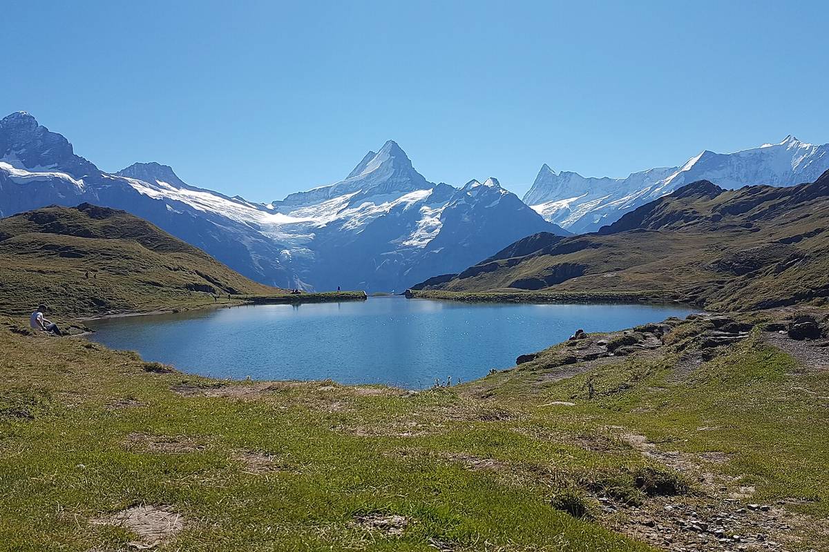
Highlights: A wide, well-made path to an alpine lake that reflects the Schreckhorn and Finsteraarhorn on calm mornings. Back at First, the First Cliff Walk adds a short steel walkway fixed to the rock face.
Start and parking: First gondola top station (about 2,170 m), reached by gondola from Grindelwald.
Families: Wide gravel path with benches; good for children who can walk two hours.
Dogs: Yes, on a lead near cows; dogs ride the gondola.
Panorama Trail: Männlichen to Kleine Scheidegg
Easy- Distance
- About 4.5 km (2.8 mi) one way
- Climb
- Mostly gentle downhill (about 200 m / 660 ft net descent)
- Time
- 1.5 hours
- Best season
- Usually June to October
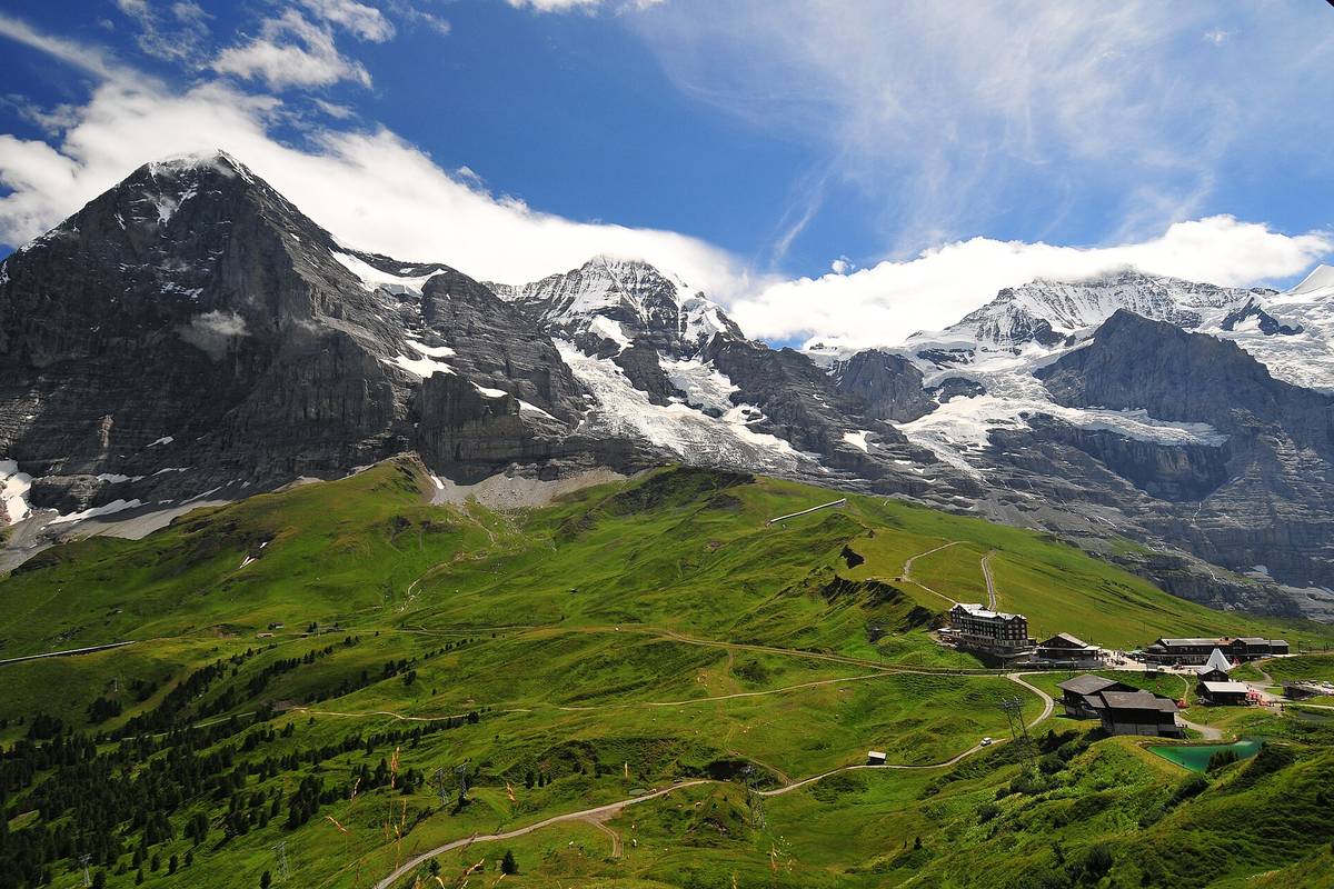
Highlights: A wide path along the Männlichen ridge, with the Eiger north face, the Mönch and the Jungfrau in view for most of the walk.
Start and parking: Männlichen top station, reached by gondola from Grindelwald Terminal or cable car from Wengen. Return from Kleine Scheidegg by train to Grindelwald or Wengen.
Families: Wide path; possible with a sturdy all-terrain buggy.
Dogs: Yes, on a lead near cows.
Grütschalp to Mürren (Mountain View Trail)
Easy- Distance
- About 4.5 km (2.8 mi) one way
- Climb
- About 150 m (490 ft), gentle
- Time
- 1–1.5 hours
- Best season
- June to October
Highlights: A path above the cliffs of the Lauterbrunnen valley with views across to the Eiger, Mönch and Jungfrau, through meadows and forest.
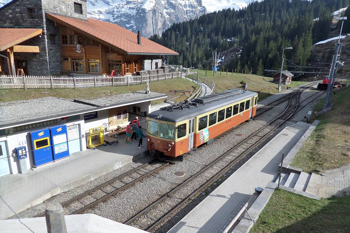
Start and parking: Grütschalp, reached by cable car from Lauterbrunnen. Return from Mürren by train or continue on foot.
Families: Easy and mostly level; the parallel train line is a useful escape route.
Dogs: Yes.
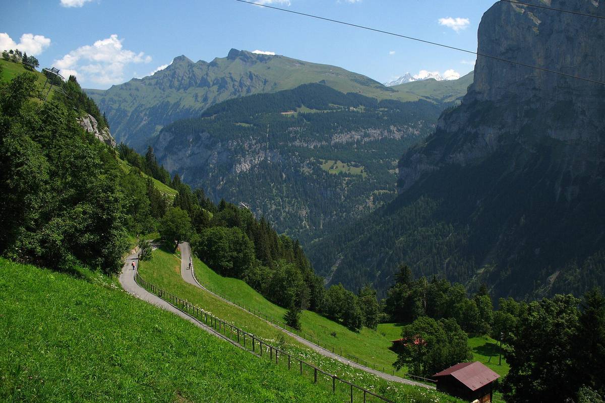
Mürren to Gimmelwald
Easy- Distance
- About 2 km (1.2 mi) one way
- Climb
- About 270 m (890 ft) of descent
- Time
- 40 minutes
- Best season
- Late spring to autumn
Highlights: A paved, car-free lane down to the tiny farming village of Gimmelwald, with waterfalls across the valley.
Start and parking: Mürren village. Return from Gimmelwald by the Schilthornbahn cable car to Mürren or down to Stechelberg.
Families: Paved but steep downhill in places; take the cable car back up.
Dogs: Yes.
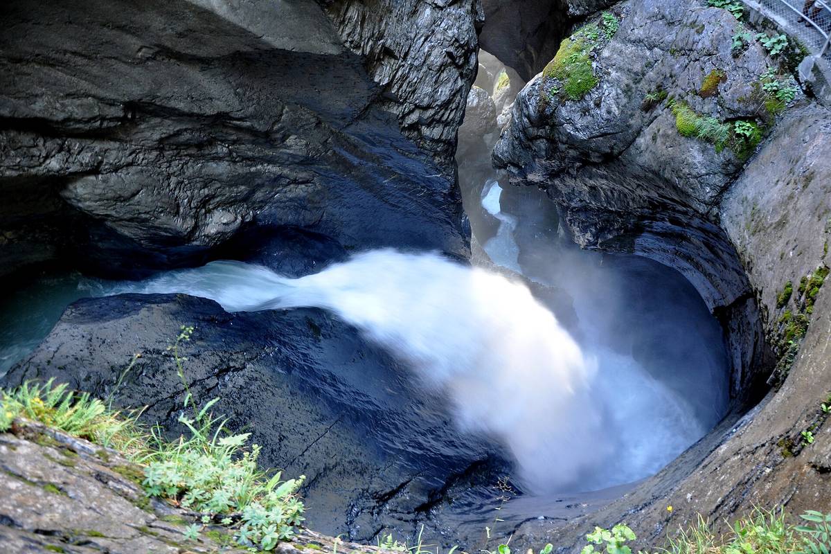
Lauterbrunnen Valley Floor to Trümmelbach Falls
Easy- Distance
- About 3.5 km (2.2 mi) one way
- Climb
- Flat
- Time
- 1 hour each way
- Best season
- April–November (Trümmelbach's opening season)
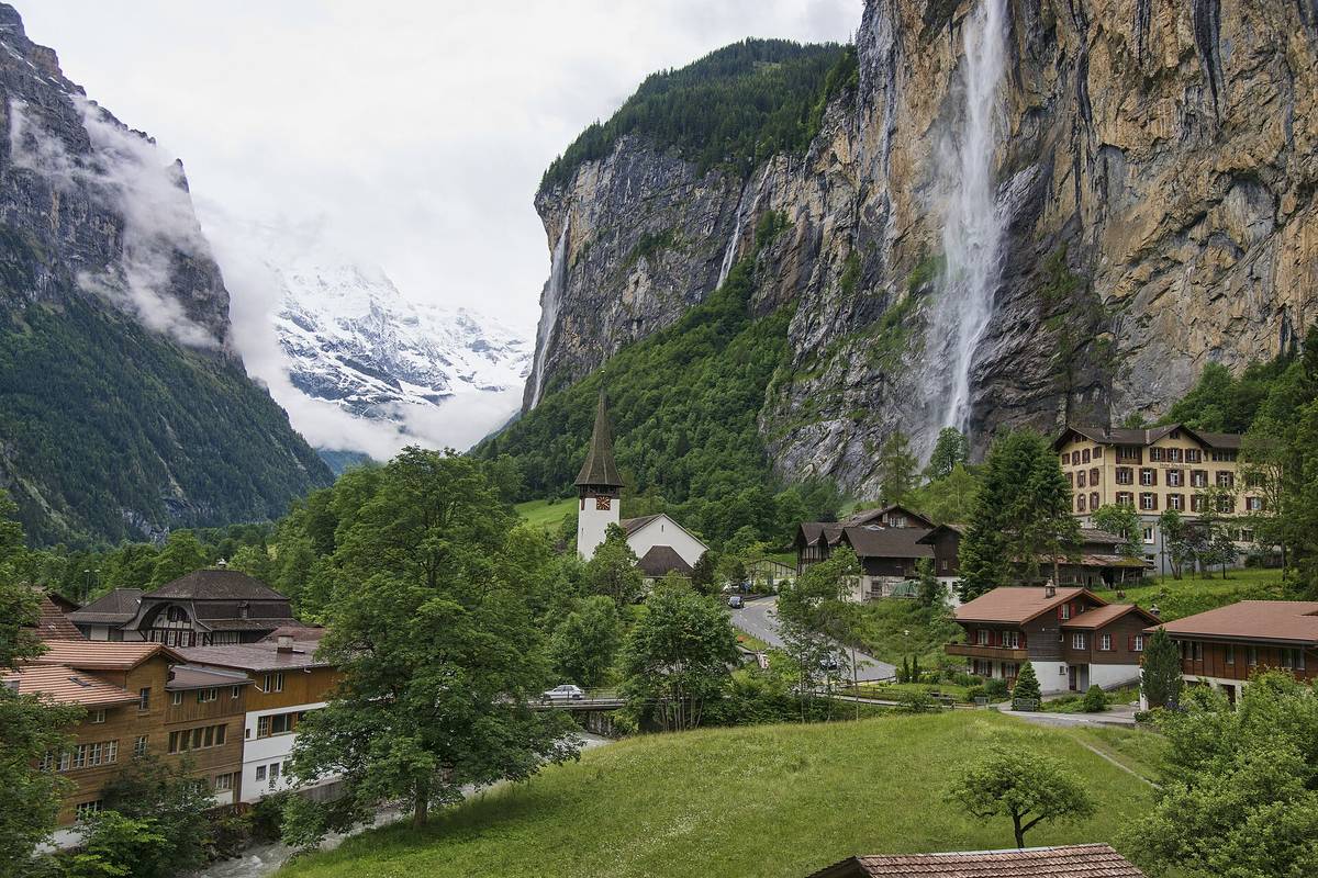
Highlights: A level path past farms and the 300-metre Staubbach Falls to Trümmelbach Falls, where glacier meltwater thunders through tunnels inside the mountain (paid entry, open in summer; reached by a tunnel lift and steps).
Start and parking: Lauterbrunnen village (train station and paid car park). Return on the PostBus.
Families: Flat and easy; inside Trümmelbach there are many steps and it is noisy and wet.
Dogs: Yes on the valley path; not allowed inside Trümmelbach Falls.
Lifts, Trains and Passes
The Jungfrau Region is built for car-free walking. Trains link Interlaken, Lauterbrunnen, Grindelwald, Wengen and Kleine Scheidegg; gondolas and cable cars reach First, Männlichen, Grütschalp and Mürren. Regional passes such as the Jungfrau Travel Pass, and discounts with the Swiss Travel Pass or Half Fare Card, can cut the cost of lifts considerably. Lifts close for maintenance between seasons (often April–May and November), so check timetables.
Safety and Etiquette
- Swiss trails are colour-coded: yellow signs are walking trails; white-red-white are mountain trails that need more experience. The walks above are on yellow trails or easy mountain paths.
- Weather changes quickly at altitude; carry a warm layer, water and sun protection.
- Close gates, give cows space and stay on the path through hay meadows.
When to Go
Late June and July bring the best wildflowers and snow-free high trails. August is busiest. September is often clear and settled with fewer visitors, and lifts usually run into October. In winter, the same lifts serve ski runs and some winter walking paths.
Questions People Ask
What is the easiest scenic hike near Grindelwald?
The Panorama Trail from Männlichen to Kleine Scheidegg is about 4.5 km and mostly gently downhill, with constant views of the Eiger, Mönch and Jungfrau. The walk from First to Bachalpsee is similar in length with a little more climbing.
When can you hike in the Jungfrau Region?
Most high-level trails and summer lifts are open from June to October, depending on snow. Valley walks around Lauterbrunnen and Grindelwald are possible from spring to late autumn.
Can I take my dog on Swiss trains and cable cars?
Usually yes. Dogs travel on Swiss public transport with a ticket or a dog day pass; small dogs in a carrier often travel free. Most lifts accept dogs, but check with each operator. Keep dogs on a lead near cows and wildlife.
Can I drive to Wengen or Mürren?
No. Both are car-free villages. Park in Lauterbrunnen (or Stechelberg for Mürren) and take the train or cable car up.
Check before you go
Trail conditions, closures, fees and transport change. Distances and times here are approximate round-trip figures; confirm details with the official sources: