Roam Glade Editorial · Updated November 2026
England's largest national park has dozens of easy walks. Many of its lakes and tarns have level paths around them, and several have surfaced routes suitable for buggies and wheelchairs.
Distances below are approximate round trips. For more accessible routes, the National Park Authority's Miles without Stiles list grades routes with no stiles and gentle gradients.
At a Glance
| Walk | Distance | Climb | Time | Level |
|---|---|---|---|---|
| Tarn Hows | 1.5 mi (2.4 km) loop | Gentle, about 30 m (100 ft) undulation | 1 hour | Easy |
| Buttermere Circuit | 4.5 mi (7.2 km) loop | Mostly flat | 2–2.5 hours | Easy |
| Aira Force | About 1–2 mi (1.6–3.2 km) loop | About 60–100 m (200–330 ft), with steps | 1 hour | Easy–moderate |
| Friar's Crag and Derwentwater shore | 1 mi (1.6 km) return; longer shore walks possible | Flat | 30 minutes | Easy |
| Rydal Water and Grasmere via Loughrigg Terrace | About 3–4 mi (5–6.5 km) loop | About 100 m (330 ft) | 2–2.5 hours | Easy–moderate |
| Orrest Head | About 1.5 mi (2.4 km) return | About 110 m (360 ft) | 1 hour | Easy–moderate |
The Walks
Tarn Hows
Easy- Distance
- 1.5 mi (2.4 km) loop
- Climb
- Gentle, about 30 m (100 ft) undulation
- Time
- 1 hour
- Best season
- All year
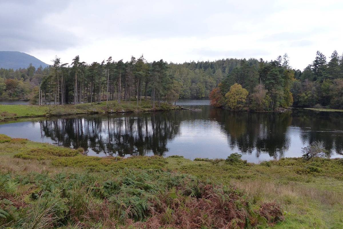
Highlights: A surfaced path around a tree-fringed tarn with fell views; Belted Galloway cattle often graze nearby. The woodland around the tarn changes colour in October.
Start and parking: National Trust car park at Tarn Hows, between Coniston and Hawkshead (free for National Trust members, pay-and-display for others).
Families: A Miles without Stiles route: surfaced, with some gentle slopes, so it works for buggies and many wheelchairs.
Dogs: Yes; on a lead near cattle.
Buttermere Circuit
Easy- Distance
- 4.5 mi (7.2 km) loop
- Climb
- Mostly flat
- Time
- 2–2.5 hours
- Best season
- All year
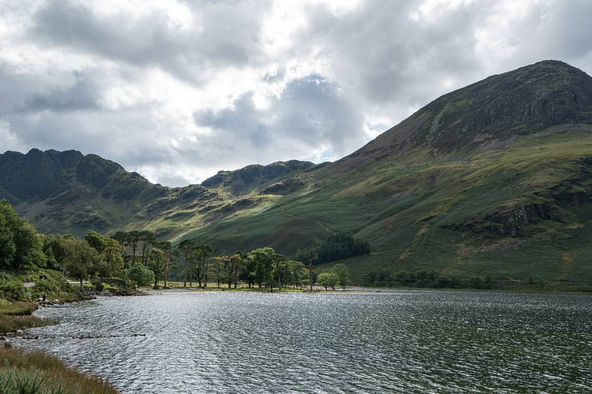
Highlights: A complete lap of Buttermere, with a short rock tunnel on the north-east shore and views up to Haystacks and the High Stile ridge.
Start and parking: Buttermere village, reached by the Honister Pass, Newlands Pass or from Cockermouth. Car parks are small and fill early in summer; a seasonal bus runs from Keswick.
Families: Long but level; a few rough, rooty sections.
Dogs: Yes; on a lead near sheep.
Aira Force
Easy–moderate- Distance
- About 1–2 mi (1.6–3.2 km) loop
- Climb
- About 60–100 m (200–330 ft), with steps
- Time
- 1 hour
- Best season
- All year; most powerful after rain
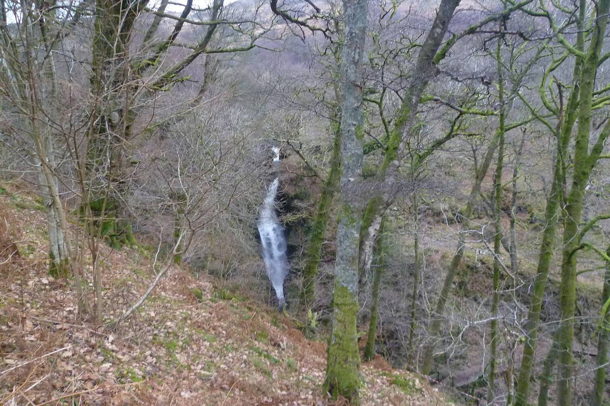
Highlights: A woodland gorge and a 20-metre waterfall crossed by stone footbridges, with tall specimen trees planted in Victorian times.
Start and parking: National Trust Aira Force car park on the A592 by Ullswater. A seasonal Ullswater Steamer pier is nearby at Aira Force/Glencoyne Bay.
Families: Steps and uneven paths; fine for children, not for buggies beyond the lower paths.
Dogs: Yes, on a lead.
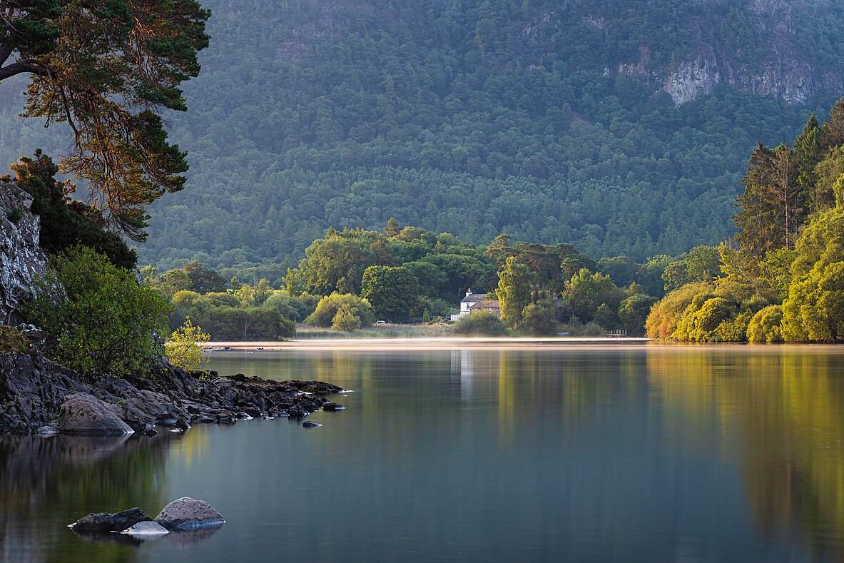
Friar's Crag and Derwentwater shore
Easy- Distance
- 1 mi (1.6 km) return; longer shore walks possible
- Climb
- Flat
- Time
- 30 minutes
- Best season
- All year
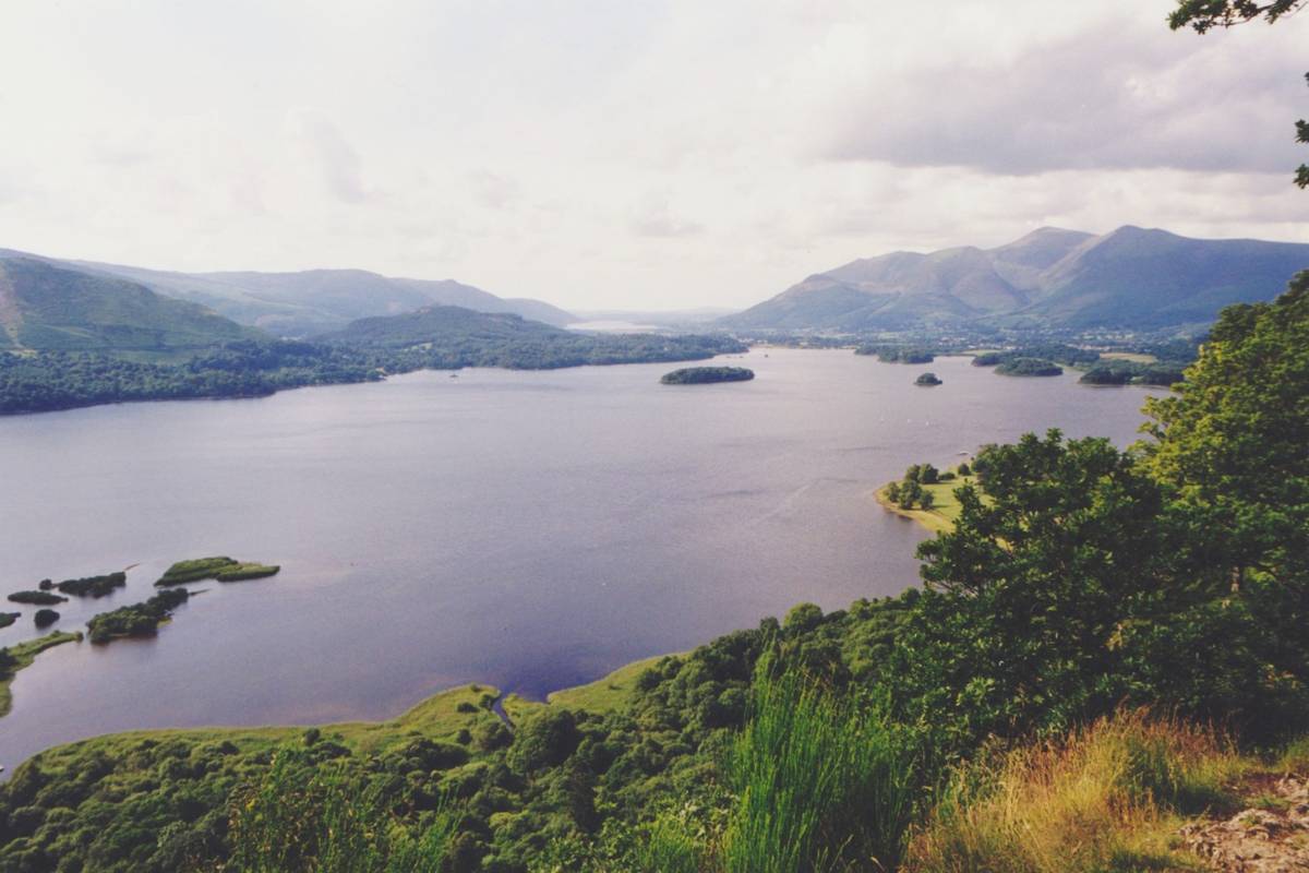
Highlights: A short, level walk to a rocky viewpoint over Derwentwater and its islands. Combine with a Keswick Launch boat to walk a section of the shore and ride back.
Start and parking: Keswick Lakeside, a 10-minute walk from the town centre. Pay car parks at the Theatre by the Lake.
Families: Level and surfaced; good with a buggy.
Dogs: Yes; if you combine it with a boat, check the operator's dog policy.
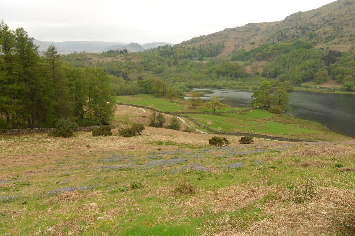
Rydal Water and Grasmere via Loughrigg Terrace
Easy–moderate- Distance
- About 3–4 mi (5–6.5 km) loop
- Climb
- About 100 m (330 ft)
- Time
- 2–2.5 hours
- Best season
- All year
Highlights: Two small lakes, the large Rydal Cave (step-stones at the entrance) and the terrace path with views over Grasmere. Wordsworth country: Dove Cottage and Rydal Mount are close by.
Start and parking: White Moss car park on the A591 between Ambleside and Grasmere, or the 555 bus.
Families: Good for children who like caves; some rocky sections.
Dogs: Yes; on a lead near livestock.
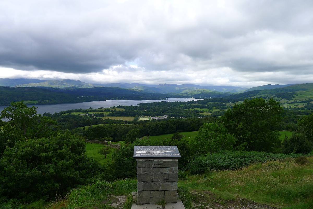
Orrest Head
Easy–moderate- Distance
- About 1.5 mi (2.4 km) return
- Climb
- About 110 m (360 ft)
- Time
- 1 hour
- Best season
- All year
Highlights: A short woodland climb to a summit with a wide view across Windermere to the central fells. Alfred Wainwright described it as his first view of the Lake District.
Start and parking: Opposite Windermere railway station; no car needed.
Families: Steady uphill on a surfaced lane then path; fine for most children.
Dogs: Yes.
Getting There and Around
Windermere has a direct rail link via Oxenholme on the West Coast Main Line, and Penrith is on the main line itself. Stagecoach buses (including the 555 and seasonal open-top routes) and lake boats on Windermere, Ullswater, Derwentwater and Coniston make car-free walking easy. Car parks in honeypot spots such as Buttermere, Tarn Hows and Aira Force fill by mid-morning in summer and on bank holidays.
Safety and the Countryside Code
- Even easy walks can be wet and muddy. Wear proper footwear and bring a waterproof.
- Close gates, keep dogs under control near livestock and take litter home.
- For anything higher than the walks here, check the Weatherline fell forecast.
When to Go
May and June have long days, bluebells in the woods (late April to May) and fewer visitors than the school summer holidays. October brings autumn colour around Tarn Hows, Borrowdale and Grasmere. Winter walking is quiet and atmospheric, with short days.
Questions People Ask
What is the easiest walk in the Lake District?
Tarn Hows near Coniston is a 1.5-mile loop on a well-surfaced path around a small lake, suitable for buggies and many wheelchairs. Friar's Crag from Keswick is even shorter.
Are there wheelchair-friendly walks in the Lake District?
Yes. The Lake District National Park Authority publishes "Miles without Stiles", a set of routes without stiles or steps, graded for wheelchairs, buggies and people with limited mobility. Tarn Hows and parts of the Derwentwater and Buttermere shores are among them.
Can I walk in the Lake District with my dog?
Yes, almost everywhere. Keep dogs on a lead near sheep and cattle, especially in lambing season (spring), and follow the Countryside Code. Some cafés and pubs welcome dogs; check signs.
Can I visit the Lake District without a car?
Yes. Trains run to Windermere and Penrith, and Stagecoach buses link the main towns and valleys, including the 555 between Kendal, Windermere, Ambleside, Grasmere and Keswick. In summer, lake steamers and launches also link walks.
Check before you go
Trail conditions, closures, fees and transport change. Distances and times here are approximate round-trip figures; confirm details with the official sources: